Chrášťany | |
|---|---|
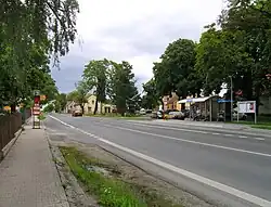 Common and main road | |
 Flag  Coat of arms | |
 Chrášťany Location in the Czech Republic | |
| Coordinates: 50°2′46″N 14°15′41″E / 50.04611°N 14.26139°E | |
| Country | |
| Region | Central Bohemian |
| District | Prague-West |
| First mentioned | 1115 |
| Area | |
| • Total | 4.15 km2 (1.60 sq mi) |
| Elevation | 384 m (1,260 ft) |
| Population (2023-01-01)[1] | |
| • Total | 1,127 |
| • Density | 270/km2 (700/sq mi) |
| Time zone | UTC+1 (CET) |
| • Summer (DST) | UTC+2 (CEST) |
| Postal code | 252 19 |
| Website | www |
Chrášťany is a municipality and village in Prague-West District in the Central Bohemian Region of the Czech Republic. It has about 1,100 inhabitants.
References
Wikimedia Commons has media related to Chrášťany (Prague-West District).
This article is issued from Wikipedia. The text is licensed under Creative Commons - Attribution - Sharealike. Additional terms may apply for the media files.